
Beinn Tharsuinn (Glen Fruin)
Date: 21 December 2025
Leader: Jack
Grade: B
Number on walk: 9
Length 9 km. Ascent 630 m.
Hills climbed: Balcnock, Beinn Tharsuinn, Auchengaich Hill.
Click here for GPX track of the walk
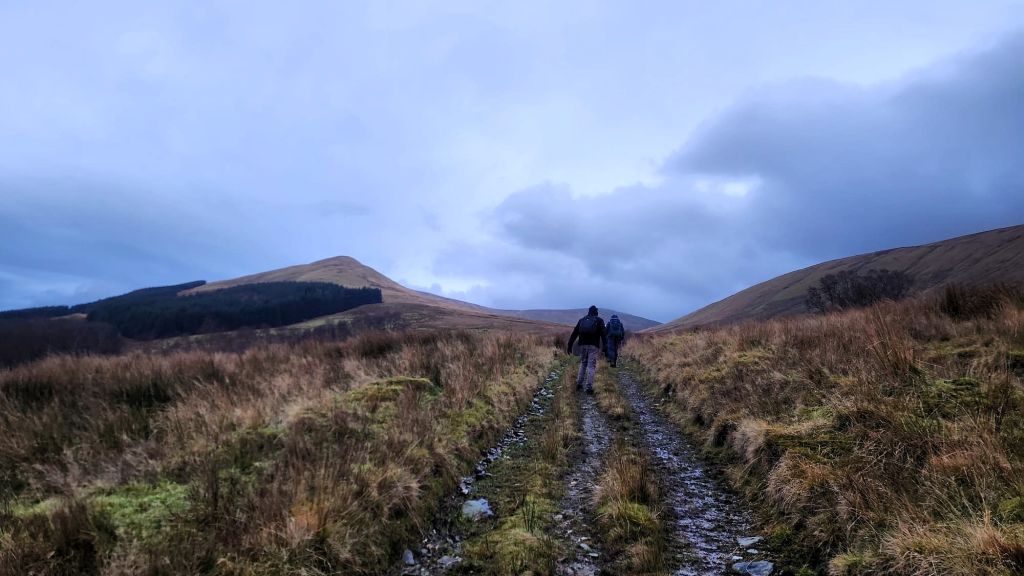
We parked near the radio mast on the Haul Road and set off on a farm track, our descent path visible as we made our way into the hills
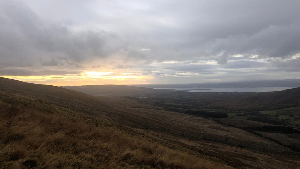
We were hoping that the weather would improve, as we continued the steep climb up to Balcnock. Here we see a promising glimpse of sunshine
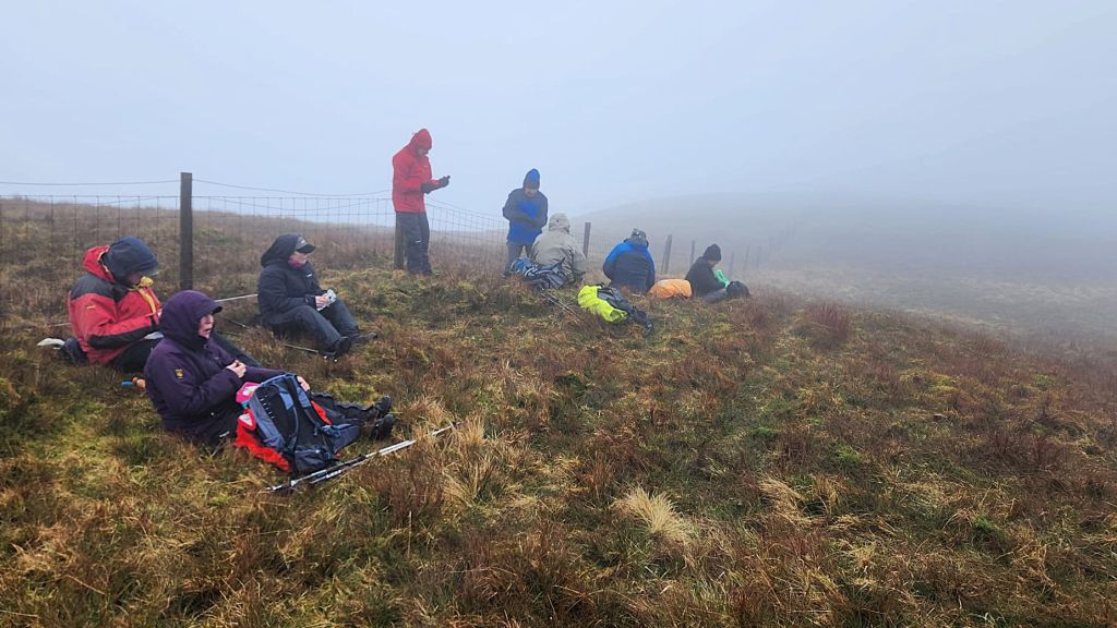
As we neared the summit of Balcnock 693m, we were caught in cloud and a cold wind
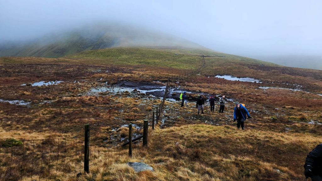
We followed the fence line down from Balcnock, and up towards Beinn Tharsuinn. The mist cleared a bit, but there was still plenty of wet ground to negotiate and the wind continued to gust
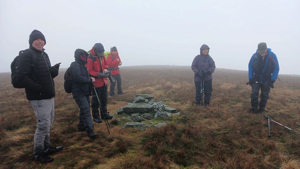
Some of our group at the summit of Beinn Tharsuinn 656m. Downhill all the way from here!
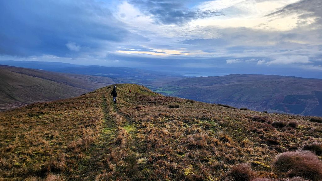
The cloud cleared on the way down giving us beautiful views of Glen Fruin, The Gareloch, and beyond. The wind did not let up though until we dropped further down
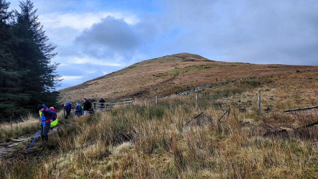
Nearly back at the road, we looked back at the ridge path we had just descended