
Carron Valley Forest
Date: 05 September 2026
Leader: Jack
Grade: C
Number on walk: 15
Length: 12.3 km. Ascent: 308 m.
Hills climbed: None.
Click here for GPX track of the walk
Some of our group took the opportunity to leave the main walk and climb Meikle Bin
Number on optional detour: 4
Additional length: 4.5 km. Additional ascent: 207 m.
Hills climbed: Meikle Bin
Click here for GPX track of the detour via Meikle Bin
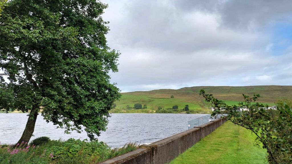
Soon after leaving the car park we arrived at the Carron Valley Reservoir
Carron Valley Reservoir is approximately 3.5 miles long and 1.5 miles wide, covers about 940 acres, and has a capacity of 4,300 million gallons. It was constructed between 1935 and 1939 to provide water for Stirlingshire and Falkirk. The reservoir occupies an unusual position across the watershed between the River Carron to the east and Endrick Water to the west, which meant that dams were required at both ends: a main dam across the River Carron and a subsidiary dam across Endrick Water. This type of reservoir is known as a bifurcation reservoir.
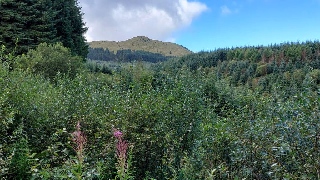
Further along the track, the landscape opened up and revealed our first view of Meikle Bin
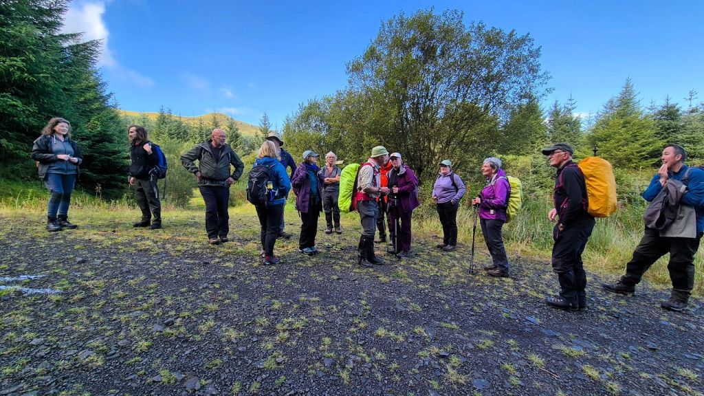
An hour later we reached the junction where walkers chose between skirting Meikle Bin or climbing over it
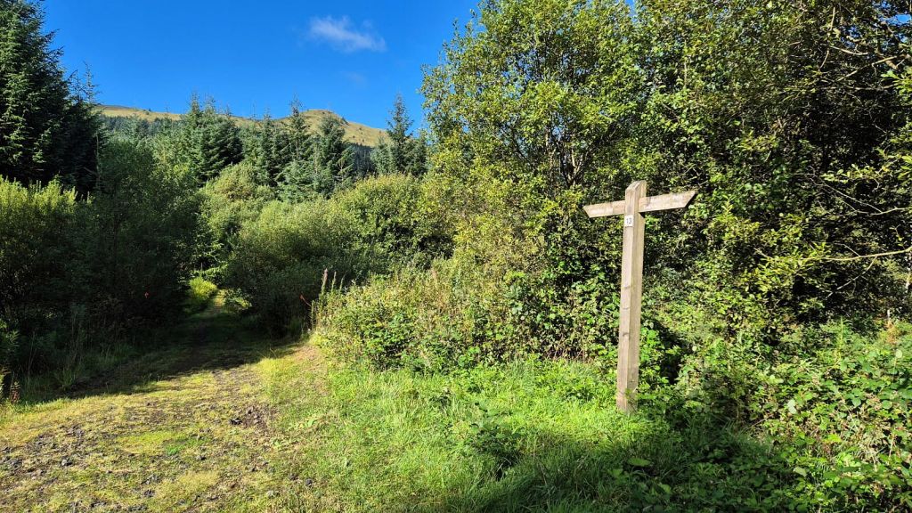
A small group took the Meikle Bin route, its inviting path a welcome change from the hard track behind us
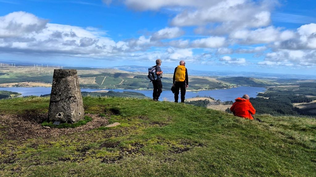
A stiff climb brought our small group to the summit of Meikle Bin
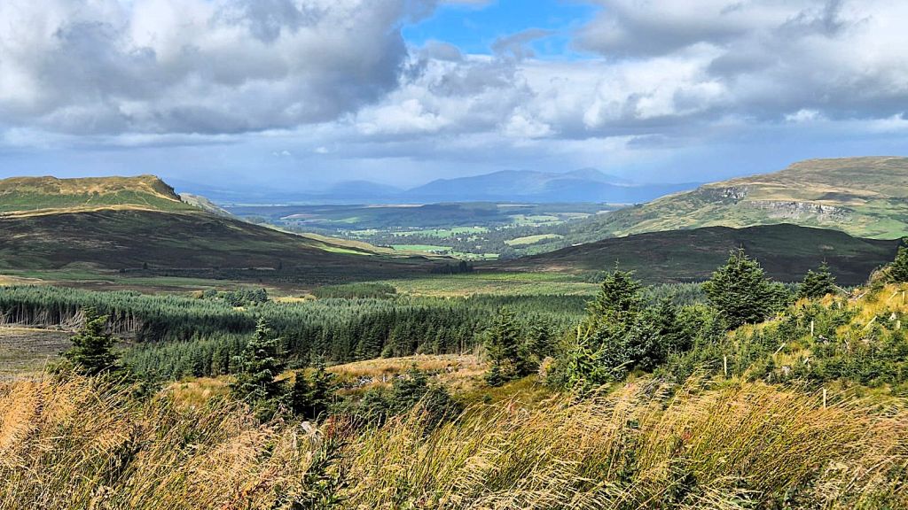
The view looking northwest from Meikle Bin with Dungoil prominent on the left
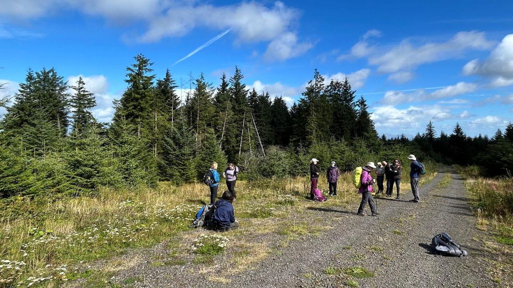
The main group took a relaxed pace, stopping occasionally as they waited for the smaller group to rejoin them
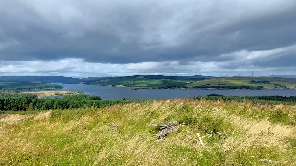
The return route ran higher than the outward track, and recent tree felling opened up excellent views of the Carron Valley Reservoir
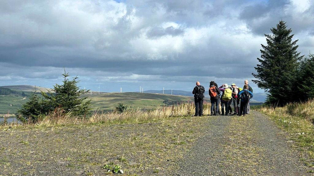
A last pause to view the reservoir and the Craigengelt Hill wind farm before descending to the valley floor