
Lucifer’s Loch (near Milngavie)
Date: 5th March 2022
Leader: Sieglinda Bucher
Grade: B
Number on walk: 20
Due to a privacy concern there is no GPX track of the walk
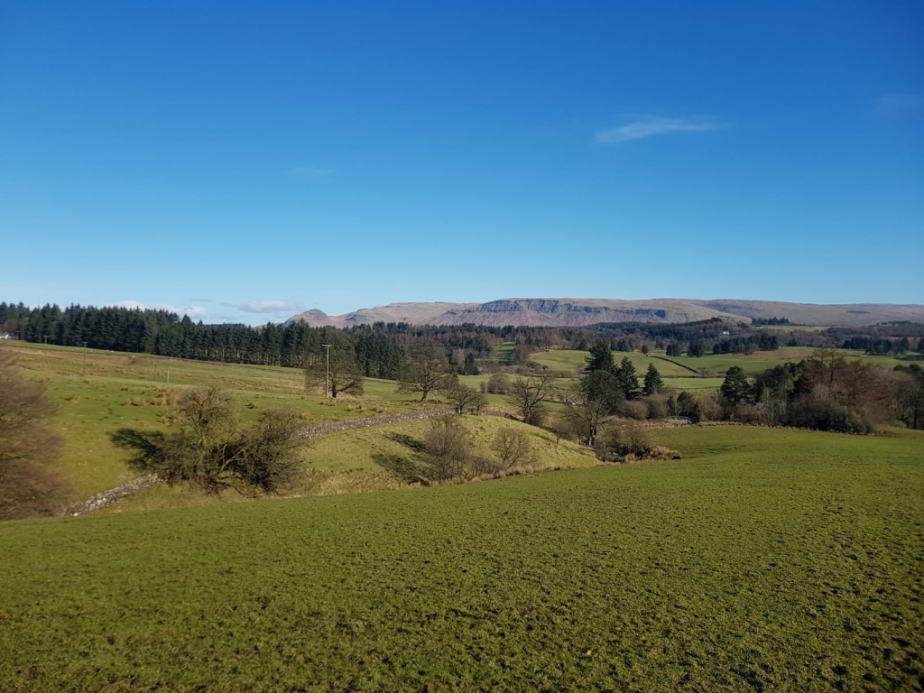
Looking back towards Dumgoyne after ascending a particularly muddy field

A brief pause before continuing to our morning coffee break
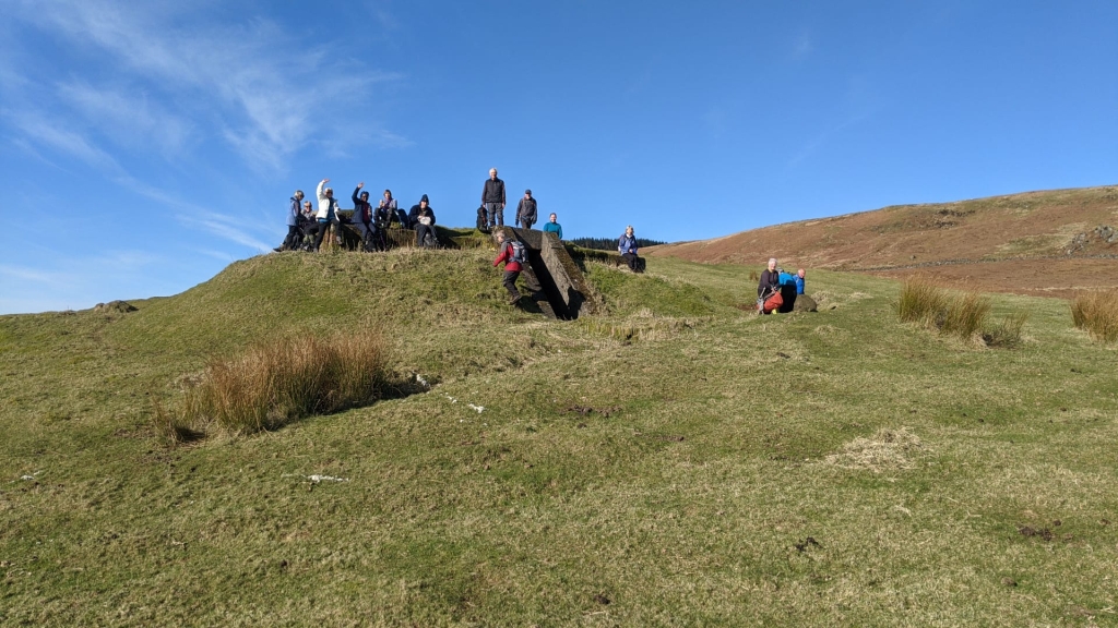
Morning coffee at the site of Douglasmuir, Starfish site control bunker
Starfish sites were large-scale night-time decoys created during the Blitz to simulate burning British cities. The aim was to divert German night bombers from their intended targets so they would drop their ordnance over the countryside. The term “Starfish” was a code derived from the military designation of "Special Fire" or "SF" sites.
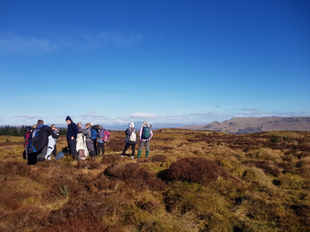
The highest point on our walk at the 356m trig. point on Craigmore
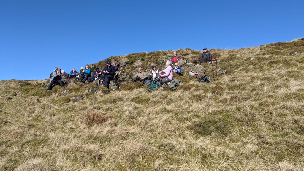
Lunchtime – Sitting in the warm sunshine above Lucifer’s Loch
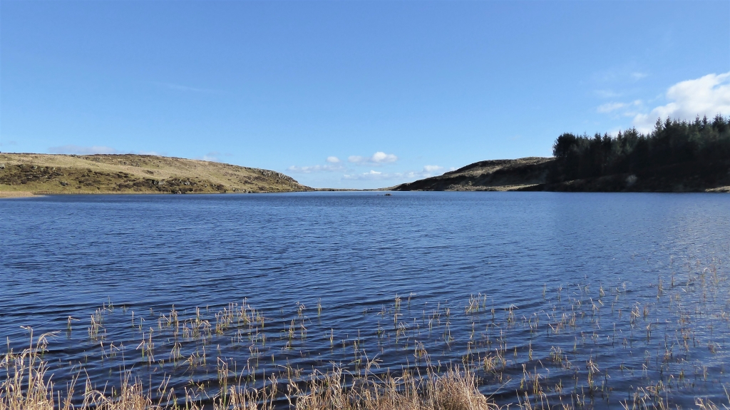
Lucifer’s Loch seen from its southern shore
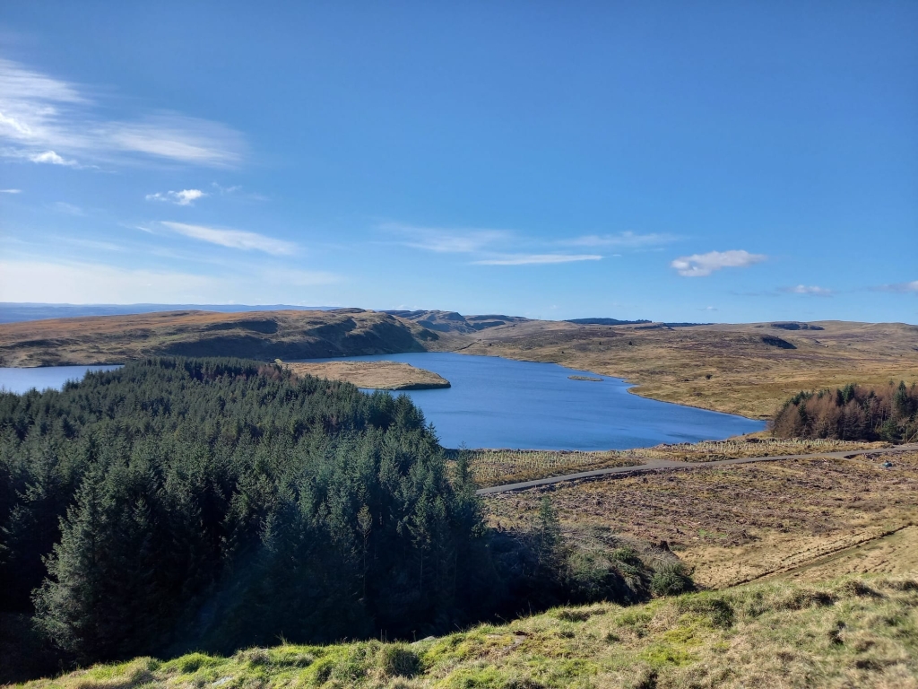
Looking southwest from Dunellan to Cochno Loch
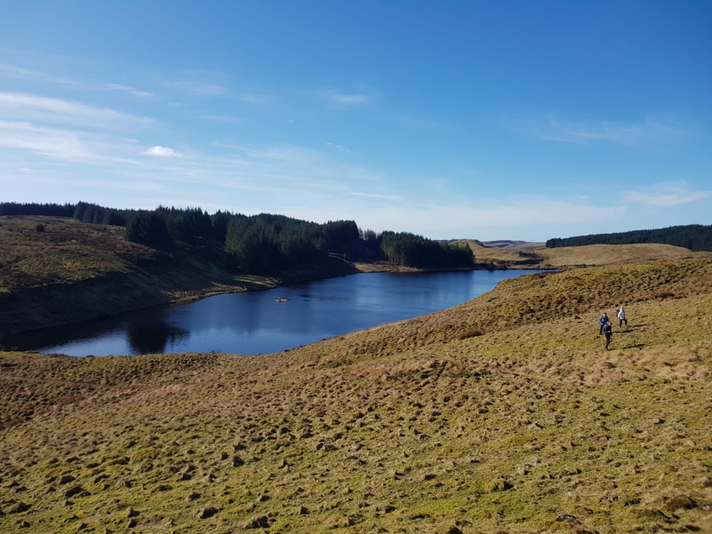
Looking northeast from Dunellan to Black Loch
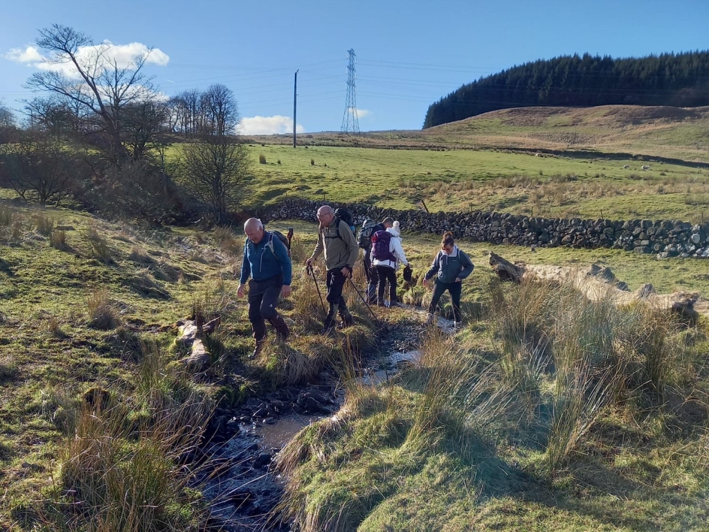
After crossing the muddy field, again, there was an opportunity to clean our boots in the burn